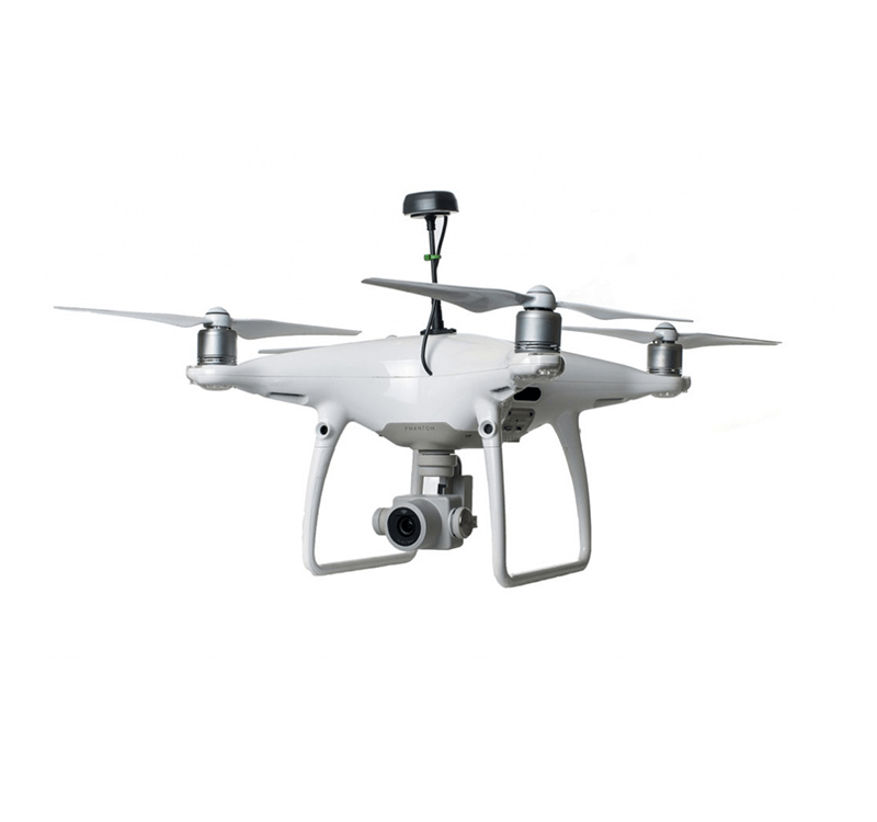
A-21

UAV (Unmanned Aerial Vehicle)

A - 21 UAV RTK (Real-Time Kinematic) and PPK (Post Processing Kinematic) solutions give you highly precise correction data in mapping and surveying, agriculture, etc. By dint of the advanced GNSS technologies, the UAV has become the most wanted vehicle in today’s industries. Apogee offers you various kinds of GNSS solutions for UAV systems for surveying and mapping, agriculture fields.
UAV
UAV

Highly Accurate

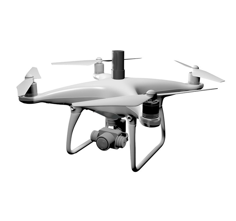
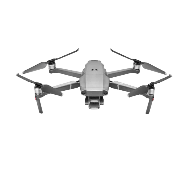
UAVs such as drones give highly accurate solutions through RTK and PPK methods. RTK provides real-time correction data and is primarily used in field surveying. We need a continuous connection for the RTK method. PPK provides correction data after processing its post-survey. This method is used when there are not good signals between base and rover such as hazardous parts of forests, powerlines, etc.

Applications

Construction & Infrastructure, Surveying & Mapping, Mining, Agriculture, Science & Research, Environmental Monitoring, etc.

UAV

Specifications

Mechanical

Dimensions 56.4 * 45.3 * 14.6 mm
Weight 58 g
Operating -20~+65oC

Connectivity

TF card
Led Power, Logging
Antenna Mcx
Storage USB Mass Storage
In-built SD Card

Data

Position Output NMEA
Data Logging RINEX with events
Update Rates 1 Hz
Internal Storage 16 GB

GNSS

Signal GPS/ QZSS L1/L2
GLONASS G1
Beidou B1, B2
Galileo E1, E5
SBAS
Number of Channels 184

Positioning

Horizontal 10mm + 1ppm
Vertical 20mm + 1 ppm

Have a question?

Ask our team

Fill the form given below or write us at marketing@apogeeprecision.com. We will reply to your query within 24 to 48 hours. However, most of the time, we reply early than the given time.

Success! Your message has been sent successfully. We contact to you soon..
Sorry! Your message has not been sent. Please try again.
Find a Dealer