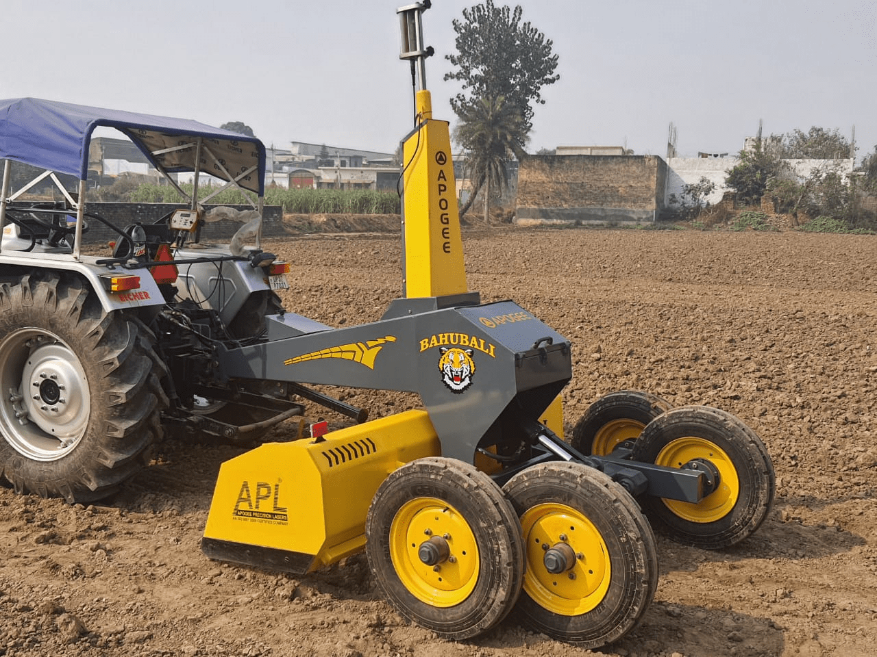
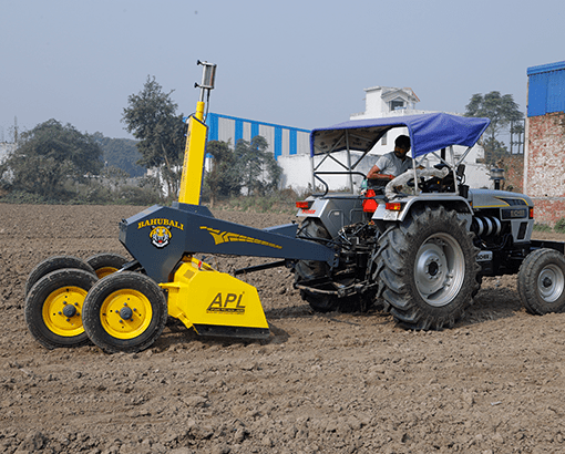
Levelling

Levelling

Satellite data is used through GNSS Receivers to identify the exact 3-dimensional position of the construction equipment, We can set the reference height of equipment as per the site requirement. As the equipment will move, it will compare that particular position with the reference height to guide and control the hydraulics movement.

Grading

The site requirements conclude the plain that is used as the reference by GNSS Controller. While Working, the receiver receives the 3d coordinates of different points of the site and moves the hydraulics to match the desired site requirement.

Grading

Have a question?

Ask our team

Fill the form given below or write us at marketing@apogeeprecision.com. We will reply to your query within 24 to 48 hours. However, most of the time, we reply early than the given time.

Success! Your message has been sent successfully. We contact to you soon..
Sorry! Your message has not been sent. Please try again.
Find a Dealer